When uploading files to FOND, it expects each layer to meet certain requirements (see this article on data restrictions currently in place).
An error often encountered is "Sorry, that isn't a valid file. All features must be of type Point" or "Sorry, that isn't a valid file. All features must be of type LineString". This means that FOND was expecting either Point or LineString geometries, but found something else in the layer instead.
Most common reason
This error often occurs when trying to upload layers with multipart geometries, or perhaps if you are trying to upload polygons for the address or underground path layers.
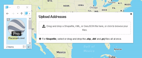
KML Uploads
We can also see this error when uploading KML. This error occurs because you are trying to upload a KML file with points (addresses) and lines (streets). You can only upload files with exclusively one type to FOND, points or lines.
To fix this error make sure your KML files only have one file type in them.
If you are using Google Earth to edit KML files, open the KML file in Google Earth.
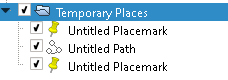
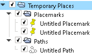
Separate the placemarks and paths into two different files by right-clicking the original file (in this case it would be the file, “Temporary Places”).
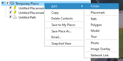
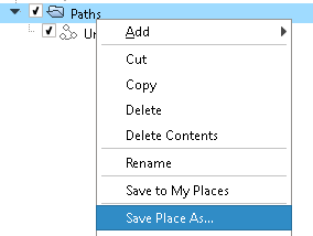
Right-click each file you just made, in this case, “Placemarks” and “Paths”, and click “Save Place As…” to save a new KML file.
You should now have two different KML files, one with points and the other with lines. Now you should be able to upload the points file into addresses in FOND and you should be able to upload the lines file into streets.