There are a few ways to influence FOND to achieve a design that is both cost effective and quick to produce, but also matches reality:
- Moving hubs
- Path preferencing
- Updating the input data
These are detailed below.
Moving hubs
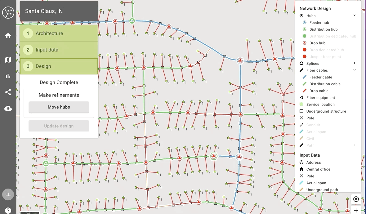
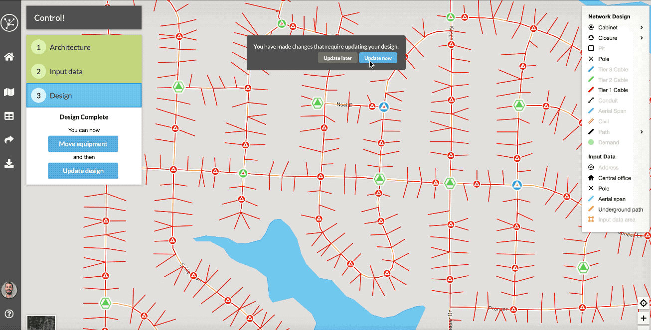
One a design has been generated, you can adjust the locations of Distribution Hubs and Drop Hubs.
- Select 'Move hubs'
- Click and drag a hub to a preferred location
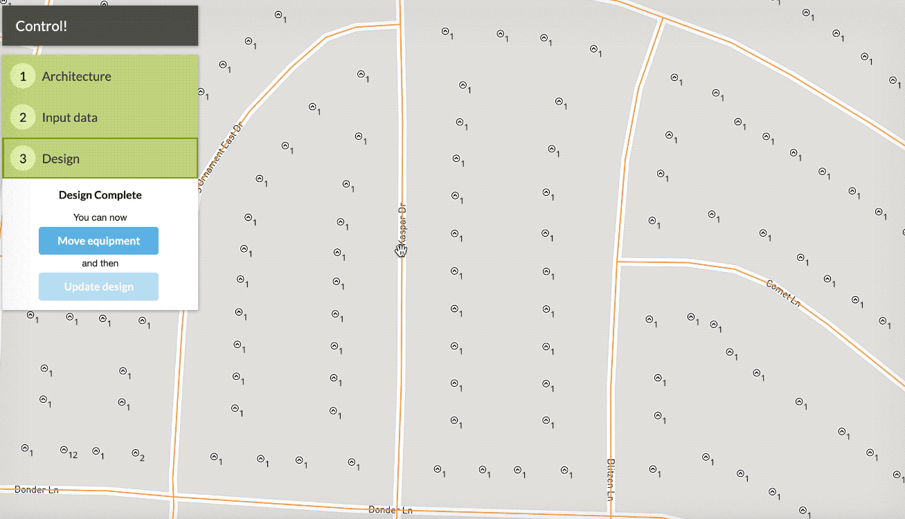
- Select 'Finish' then 'Update design'
The design should run a bit faster the second time because FOND doesn't need to spend time considering where the best places for each Drop Hub and Distribution Hub are - they've already been chosen.
FOND will not place hubs outside of your chosen locations unless it absolutely needs to create additional ones, e.g. to satisfy a max drop cable length rule.
Here are some guidelines for moving hubs:
- When moving a Drop Hub, be careful not to move it too far away from the address that it is serving. If it's further than the maximum drop length, FOND will need to create a new hub in order to service the address.
- When moving any hub, it's best to keep it within the same 'footprint' if possible. For example, a Distribution Hub is best moved to another location along the path of its downstream distribution cables. If you do need to move a hub outside of its cable footprint, be careful not to move it onto the footprint of another hub. This can cause a non-disjoint design and a design failure.
Path preferencing
You can tell FOND whether to 'Prefer' or 'Avoid' paths when it generates a design.
- Select the section of aerial or underground path on the map
- Choose 'Prefer' or 'Avoid'
If you have a particular path in mind, you may have to 'Avoid' some sections to discourage the old route, and then use 'Prefer' to make sure FOND uses the route that you'd like.
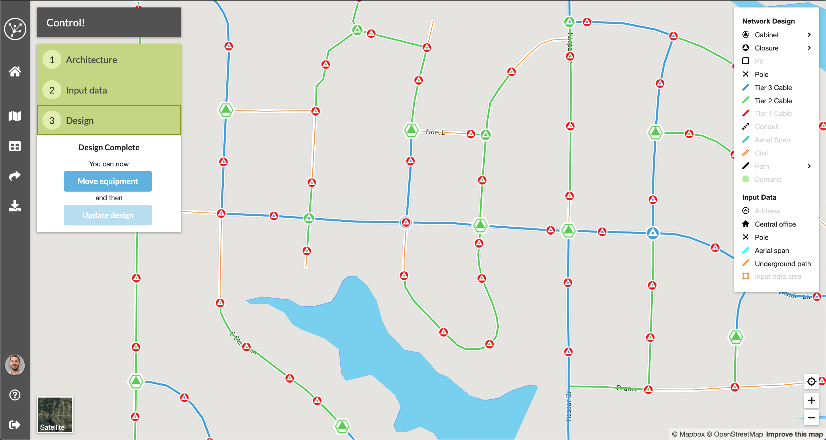
The image below is the cable path before applying specifying 'Avoid' or 'Prefer'.
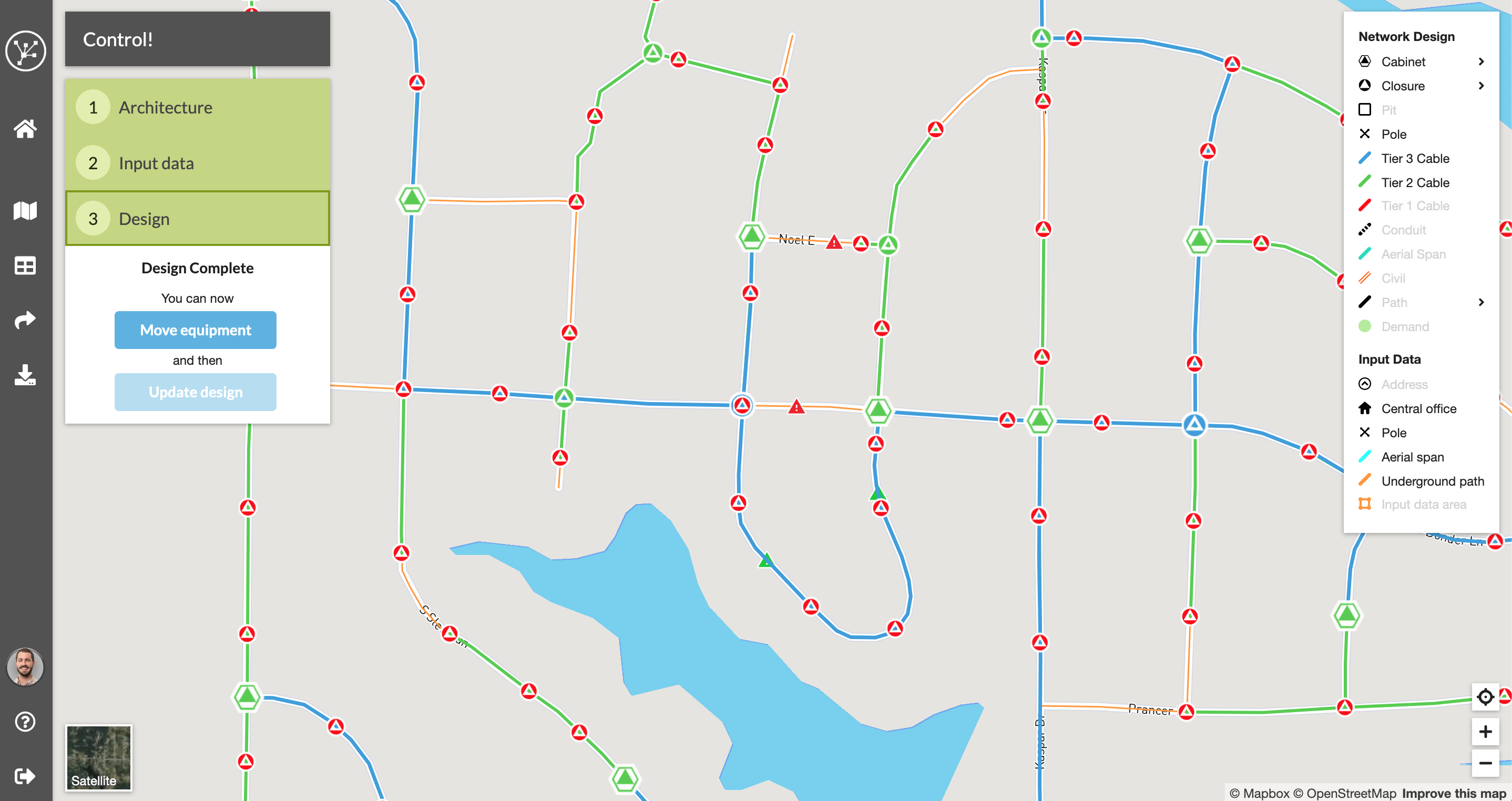
Comparing this image with the one above you can see how FOND has now routed the Feeder cable along the preferred route while avoiding the old route.
One thing to keep in mind is that sometimes you might only want to avoid a small section of a feature. In the GIF below, I initially select a section of road to avoid but FOND selects the whole street.
However, we may only want to avoid the southern half of that street. To do this, we need to use the editing tools to split that street in two so that only the southern half has the 'Avoid' symbols.
This will mean that FOND will still be able to go up that southern section of road if it needs to (e.g serving drops), but that it won't run a Distribution Cable from the south, it will come from the north instead.
What if I need to use preferencing for many paths?
For large datasets it can be cumbersome to do this from within FOND. Fortunately, it's possible to process the data outside of FOND, and then load it back in.
- If you have used area select to generate the paths, first download the design from FOND to save a local copy
- Add a float/real field named CostFactor to your underground or aerial path layer
- Set CostFactor to 1 for all Neutral paths
- Set CostFactor to 0.25 for all Prefer paths
- Set CostFactor to 10 for all Avoid paths
When you import a path layer with CostFactor, FOND will take these costs into account when running the design by trying to create a design with the lowest cost possible.
Note that the CostFactor cannot be set to 0.
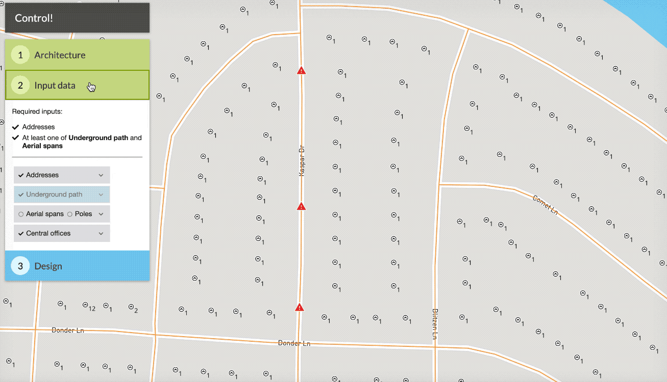
Updating the input data
Sometimes the best way to get control is by editing the input data to completely restrict what FOND can do. As an example, the best way to avoid a path may be to remove the option from the network entirely by deleting it.
In other cases, it may be necessary to update the input data to better reflect reality. As an example, you may need to add a path along a street where data was missing.
Read further in the articles about editing address, underground or aerial data.