As we discuss in What is input data?, FONDs designs are based entirely off what the user inputs for input data. Because of this, if there are things wrong with the input data, then things will be wrong in the design (garbage in, garbage out). Below are some checks you should do before hitting the big blue "Generate design" button.
Make sure you've uploaded all the layers you need
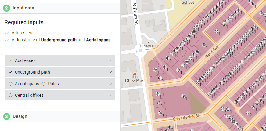
FOND will make sure that you've uploaded addresses and at least one of streets and aerial span. However, you should still zoom in make sure that the addresses and underground are close to each other. For example, in the image below, you can see we have ticks next to both addresses and underground, but we don't see the orange lines that indicated the uploaded Underground path. This can happen when we upload data in the wrong projection, or perhaps just mix up which files we meant to upload.
Make sure your inputs are reasonable
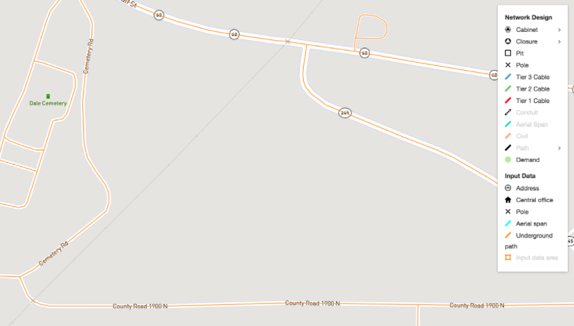
Your input data may be wrong. While Biarri Networks' data sources and many external sources do their best to be up to date and correct, it could be missing new roads and addresses. It could also just be misleading. For example, in the image below, you can see that there's underground path going across a railway at two points. Unless you want to cross the railway at both those points, you should remove it (see Editing Underground path and Editing Address data).